Welcome to GIS and Remote Sensing
What is GIS and remote sensing?
 A geographic information system (GIS); A computerized data management system used to capture, store, manage, retrieve, analyze, and display spatial information (data with location aspect- coordinates) and non-spatial data as attribute.
Remote sensing; It is the aacquisition of information about an object or phenomenon without making physical contact with the object. Relies on satellite imagery and Photogrammetry
Why GIS at ICPALD?
The integration of GIS and Remote Sensing applications within ICPALD activities played an integral role in institutionalizing an efficient and effective GIS and Remote Sensing office tailored to address the needs of organization in addition to offering technical support to sectors within ICPALD, other IGAD specialized centers, member states and IGAD at large with the support of the development partner GIZ.
- It enables us to question spatial information, relate features and phenomena through patterns and be able to quickly interpret spatial information.
- Visualization capability
- It enables quick interpretation, effective and efficient decision making.
Spatial Applications at ICPALD.
- Spatial network analysis
- Proximity analysis and gap identification and analysis through GIS.
- Location and accessibility of livestock markets.
- Routing and Optimal routing- Livestock trade routes.
- Epidemiology/ Livestock disease mapping- Relies on ARIS II system.
- Hot spot analysis
- Disease trend mapping and analysis.
- Natural resource and environment management
- Land use land cover mapping- providing information on land resources, land use and suitability, land degradation and its monitoring,
- Water resource mapping.
- Biomass estimation- NDVI, Forage distribution
- Rangeland development
- Watershed/river basin resource mapping and analysis.
- Satellite imagery interpretation.
High medium and low resolution satellite imagery such as Rapid eye, Landsat, Aster, MODIS.
- Analysis and Monitoring of resources
- Surface elevation estimation
- IGAD Livelihood zone mapping
- Livelihood and alternative livelihood mapping.
- Standardization of geospatial products.
- Support regional and national mapping initiatives
We offer technical and coordination support at both regional and national level through projects such as;
- Regional Pastoral Livelihood Resilience Program. Support and coordinate the mapping activities of components 1: Natural Resource Management and component 2: Market access and trade at both national and regional level- World Bank.
- Land use land cover mapping for the IGAD 3 clusters-World Bank Group, GIZ
- Dawa River watershed management- IGAD Swiss
- Transhumance corridor mapping- mapping pastoral movements, water resource and pasture viability mapping.
- IGAD livestock trade disease mapping.
Research, Knowledge Management and Technology Transfer-Capacity Building
Capacity building plays an integral role as it is with the GIS technology that’s dynamic and application based. This is done by provision of training for staff and member states through:
- Short term courses on GIS and remote sensing to staff and member countries. Past courses done were in collaboration with institutions and programs such as RCMRD, UNOSAT.
- Modular Curricula for application GIS & RS for multispectral spatial planning for technical and senior managers. Modular training to be rolled out by end of the year for targeting IGAD member countries.

Data dissemination
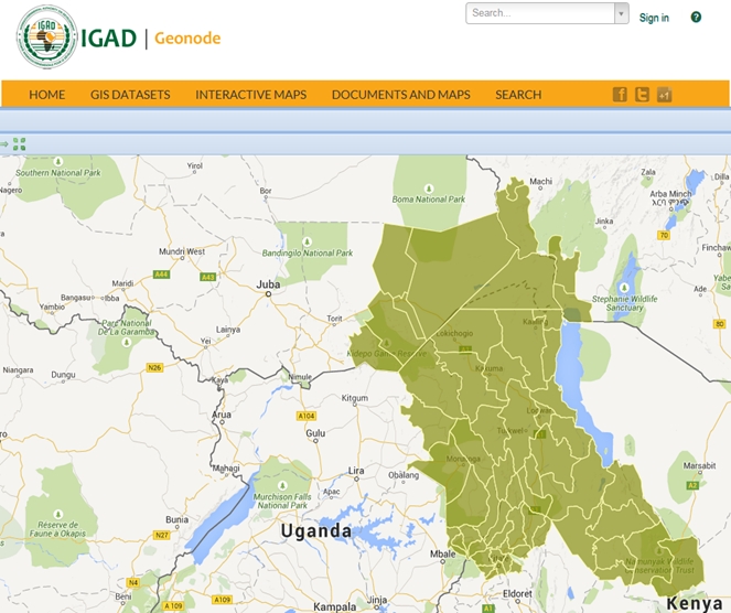
IGAD Geonode is a web based open source platform that facilitates the creation sharing and collaborative use of geospatial data ICPALD and IGAD at large can be accessed through our recently launched online platform during the IDDRISI Steering Committee Meeting.
This is a collective initiative by the GIS offices within IGAD; IRRAP, CEWARN, ICPAC, Secretariat.
Visit our online platform through the url: geonode.igad.int
Collaborators
- IGAD specialized centers and programs; IRRAP. ICPAC, CEWARN, Secretariat, Somali Facilitation Office.
- International, Regional and National Agencies/ organizations; GIZ, FAO, ILRI, FEWS NET, UNOCHA, UNOSAT, RCMRD.
Related useful products and links
- IGAD Geoportal
- 3W map: http://resilience.igad.int/index.php/knowledge/unified-km-system/3w-map
- IGAD GIS atlas
- Brochure
- East Africa Climate Hazards Watch (EAHW)
- Participatory Mapping of Key Shared Resources & Ecosystems in Cross-Border Areas